Sunday 31 August 2014

Exploring Structure

Circular form to show the changes and to map the biodiversity of grasslands is one of the form that I am looking forward to explore.

Can I unpack the grassland using this form? (will be exploring further the structure)

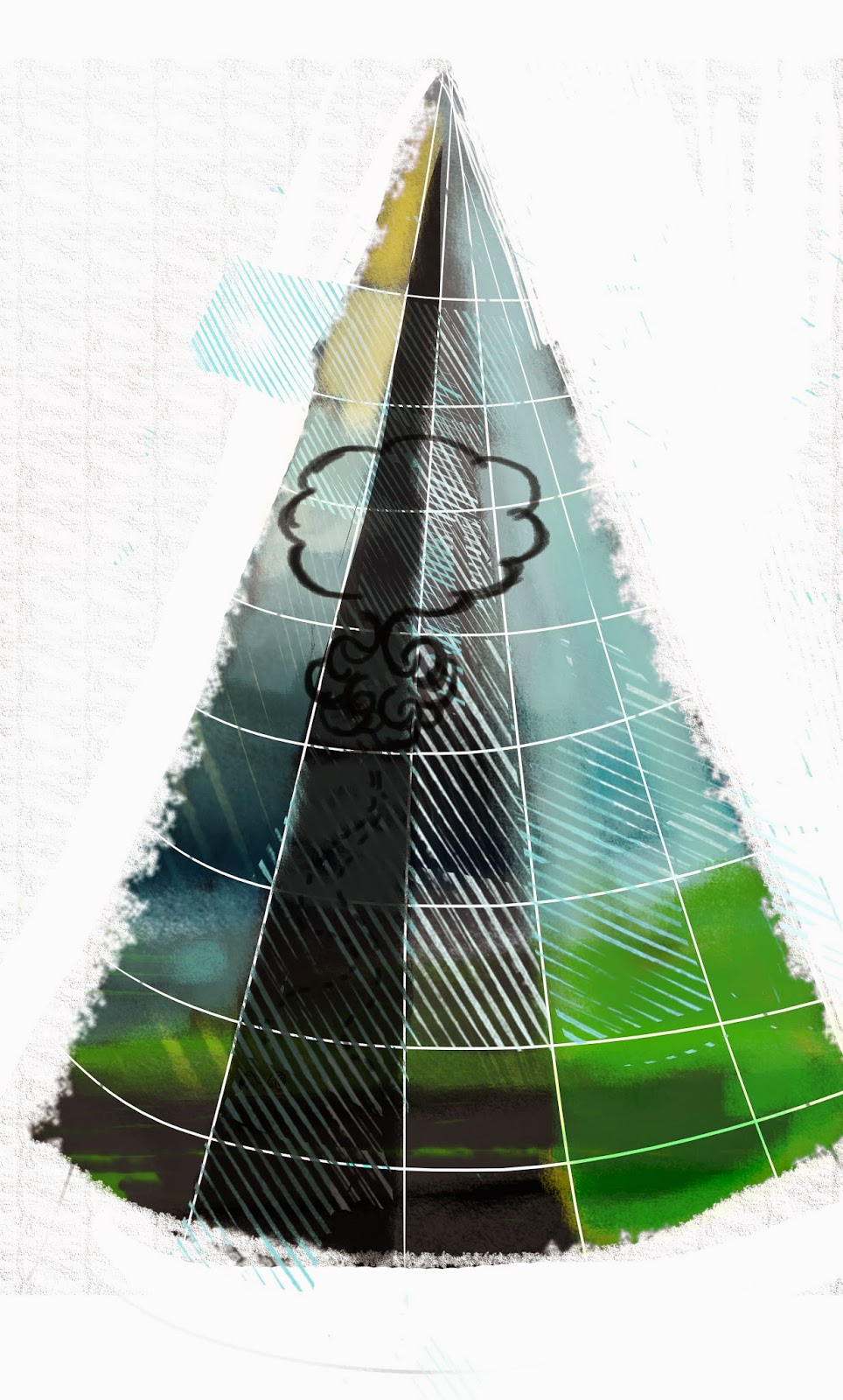
The sky lies in the centre and the earth/ground around it.

All the activities are related to the growth of the grass.

The grid can be further explored to map/spot different activities of species.


Mapping/zooming into one of the seasons- post monsoon


Exploring through grids- 
the mini stories, events/phenomenas, cycles


Moisture content in soil,

Exploring a part of the circular form


Analysing

After analysing primary research from Agumbe, the information can be categorised into,

Mini stories
1.     One of the few stories is that of, flock of birds flying towards the grasslands for food. Some species eat the fruits and hence while eating from the fruiting tree, the bees from the trees fly in open spaces that give food to other species of birds
2.     Smaller ecosystem in the waterfall- Rock, Algae, water and fish
3.     The migratory dragon flies, bees pollinating and attracting other species
4.     Fishes migrating from perennial water bodies to the first order streams for breeding
5.     Water flows from higher ground to lower ground during the monsoon to form the 1st order stream, which forms a breeding ground of many amphibians.
6.     Hundreds of flowers growing post monsoon in the grasslands attracting several species of butterflies and hence other birds who eat butterflies


Events/Phenomena
1.     Communal Breeding of common India toads which takes place during the first showers of monsoon
2.     Endemic species
3.     Best place and time to spot birds/species
4.     Dead tree which exits near a pond and a few species like eagles, snakes have been spotted
5.     Researcher’s track/path

Cycles- such as breeding, feeding and behaviour of certain species, changes in the grass throughout the year

(Monsoon Winter Winter-summer Summer)

Some of words that struck me while mapping my experience in the grasslands which I would like to take it forward in my form,

Feedback sessions


Session with Rustam

Rustam shared with us an interesting connection between humans being biped and grass. Humans when started hunting, which mostly happened in open areas like grasslands, needed better vision while they ran behind animals to hunt. Slowly their back posture began to change as they ran on the grass to hunt.
Grass is also one of the fastest oxygen producers and hence very significant.
(History of grasslands)

We discussed about the following possibilities in the forms,
1.     Digital form vs print media
2.     The use of simple sound and light technology can enhance the form
3.     Getting interaction to print media can also be looked at
4.     Medium, which can be modified for different platforms

Slowly unpacking the grasslands like a treasure hunt is a good start.
Also a mix of structure (looking at the circular map, cross section mapping and aerial view) could be looked at.


Meeting and Feedback at Crock Bank

Meeting with Rom, Gowri and Dhiraj helped to clear certain thoughts, which were floating around. A physical form will be more helpful than a digital form as it depends highly on technology. Also, a form that enables the viewers to get a glimpse of the message if in two minute and more depth information if further viewed.

This could be a good constraint and challenge to the form.


Tuesday 19 August 2014

Content Mind-mapping

 Visualising the information while listening to the audio documentation in Agumbe.

How do you communicate:
Once and Only
Compact patches
Space and Places
activities in the micro-ecosystem
Symbiosis

and how do you represent the relationships?


 Getting inspiration from the content for the form


See Think Wonder


A fun design tool to imagine the grasslands.


Stakeholder Mapping


Is the stakeholders the audience?
What are LTG(long term goals) and STG(short term goals) and hence defining the audience on the rate of impact?
Is it possible to target a wider audience since the information is generic?

Can we cater first to the primary stakeholders that is the Agumbe village and then to the wider audience?


My attempt to do an offering map.
How do we offer the goal to the target and why?


Some conclusions,


SWOT (Strength Weakness Opportunities and Threats)
Swot analysis for a few media


A few points under strengths, weakness and opportunities,

Sunday 17 August 2014

Data Collection


Methods used to collect data:
  • Empathizing with the researchers by performing short exercises on observing and documenting in the field for long hours.
  • Field observation
  • Cognitive Mapping
  • Current maps
  • Interviews
  • Data collection through notes, pictures, sketches
  • Audio and Visual Documentation

Cognitive and Participatory Mapping with the researchers on the grasslands


Notes


Books